
Additional geological context
Access the geological map and known mineral occurrence data included in the plan, subject to source coverage.
MINING DATA ACCESS · ZAMBIA
Get access to additional mining and geological data, the latest validated cadastral version available on the portal, and a 20% discount on AI reports. Explore the data as you develop and revisit your shortlist.
Plan and price confirmed on request. Delivery timing agreed before work begins.
WHAT YOU RECEIVE
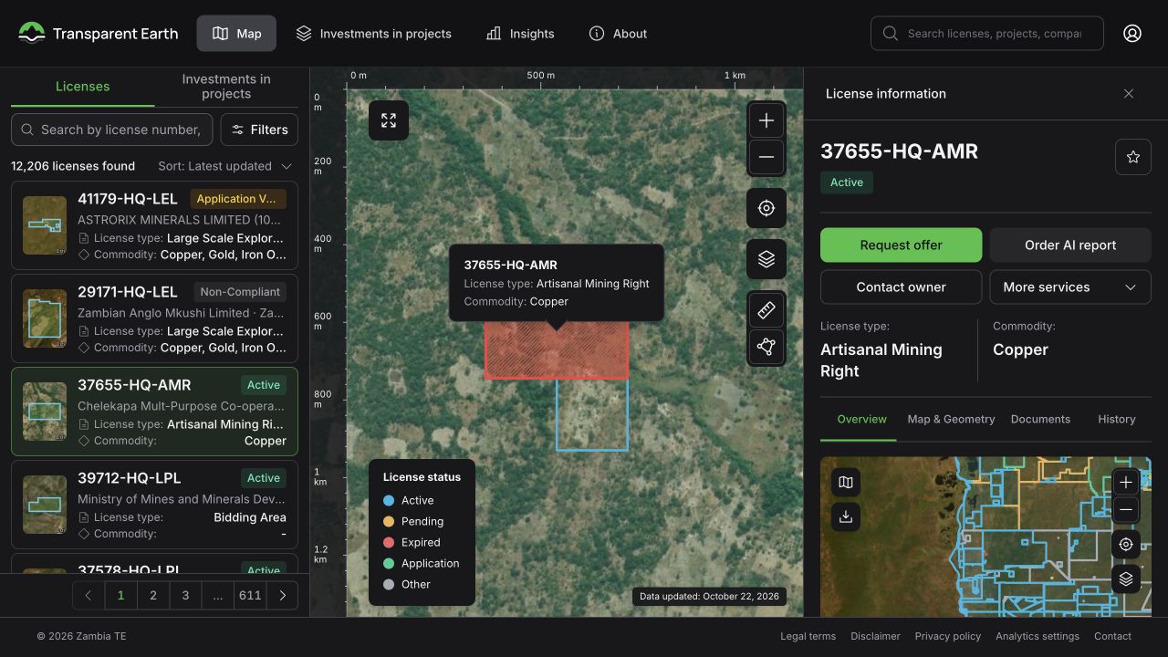
A subscription supports repeated research. Use the available layers to compare locations and return to the latest validated cadastral data while deciding which areas need a dedicated report.
Access the geological map and known mineral occurrence data included in the plan, subject to source coverage.
See the latest source version loaded and validated for subscribers. The public map is refreshed on a monthly schedule.
Use the available overlay to identify areas worth checking more closely against current records.
Order AI reports separately with the applicable subscriber discount. Reports are not bundled into the subscription.
INSIDE THE RESULT
The structure below shows how the service brings the important information together. The content is specific to your area, project, or request.
Latest validated data means the latest version available and processed by the portal. It is not a guarantee of a live government feed. Coverage and source dates remain visible.
Geological layers
Included maps and mineral occurrence data
Cadastre version
Latest loaded and validated subscriber release
Public version
Monthly update schedule
AI reports
Separate orders with 20% discount
Illustrative output structure · No site findings shown
HOW IT WORKS
Start with the location or project and the decision you need to make. We clarify the scope before the agreed work begins.
Confirm the available layers, access terms, price, and billing period.
Complete the agreed subscription process.
Use the portal data and request separate reports when you need a focused assessment.
A GOOD STARTING BRIEF
BEFORE YOU REQUEST
No. AI reports are separate purchases. The subscription provides a 20% discount under the agreed plan terms.
No. The public map follows a monthly update schedule. Subscriber access follows the latest successful data ingestion and validation, so the difference depends on source availability.
No. It provides data access for research. Areas of interest still need the appropriate current rights and technical checks.
LET’S DEFINE YOUR NEXT STEP
Plan and price confirmed on request. Share your area or project reference so we can confirm the right scope.
CONTINUE YOUR RESEARCH