
Geology, terrain, and access
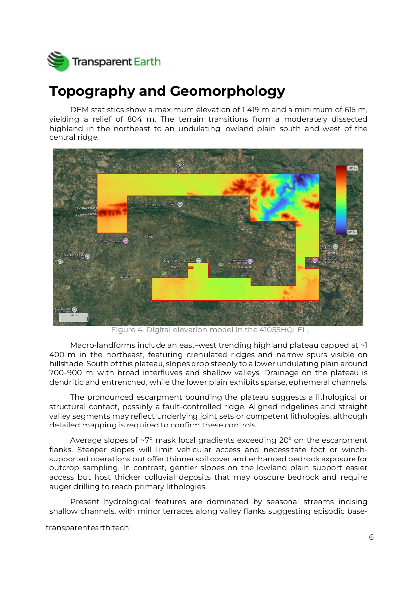
Review the license location, infrastructure, geological setting, elevation, slopes, and drainage. The report connects these layers to practical exploration questions.
LICENSE-BASED ANALYSIS · ZAMBIA
Review the geological setting, terrain, satellite responses, and follow-up priorities for a mining license in Zambia. The analysis is clipped to the license polygon and assembled into an illustrated report for initial exploration planning.
Scope and price confirmed before work. Delivery timing agreed before work begins.
LICENSE-BASED ANALYSIS
From evidence to next steps.
WHAT YOU RECEIVE
A license boundary gives the review a clear geographic focus. The report organizes the available evidence into a form that your exploration team or investment team can use to frame the next technical questions.
Review the license location, infrastructure, geological setting, elevation, slopes, and drainage. The report connects these layers to practical exploration questions.
See iron-oxide, clay/hydroxyl, and ferrous-silicate indices, together with interpreted spectral-unmixing outputs where supported by the data.
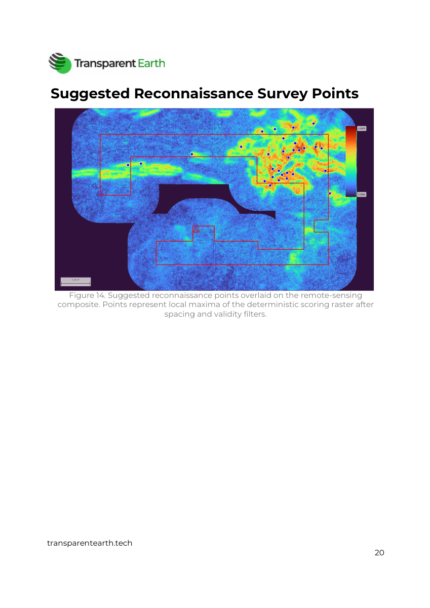
Review suggested reconnaissance points and screening factors. The report separates surface responses and model outputs from findings that require ground confirmation.
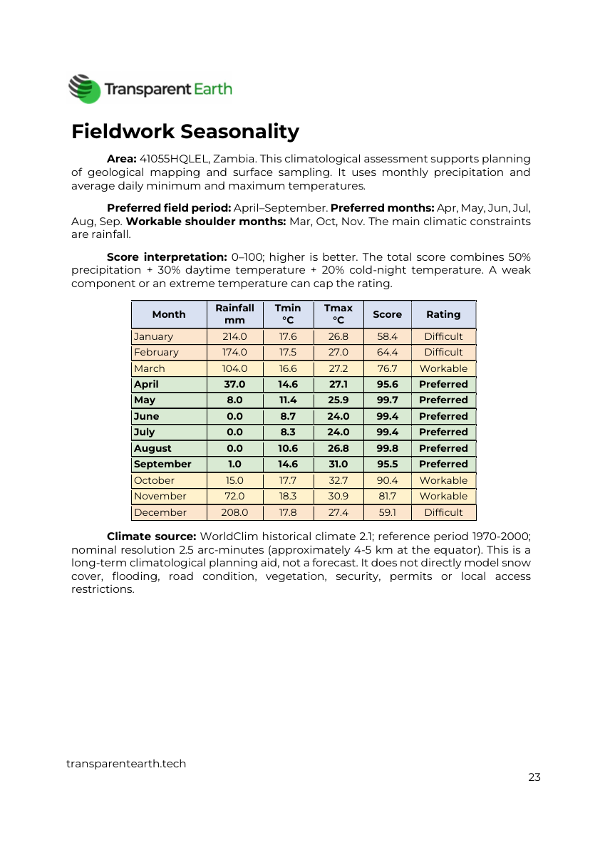
Use the conclusions, source references, data limitations, and fieldwork-seasonality assessment to plan further investigation.
A REAL REPORT EXAMPLE
Explore the 30-page example for Zambia license 41055HQLEL. It shows how maps, interpretation, limitations, and recommendations come together in a single document.
This is a site-specific report example, not an assessment of your license. Its screening scores are not a probability of discovery or an investment return forecast. The maps and analyses available for your report are confirmed during scoping.
HOW IT WORKS
Start with the location or project and the decision you need to make. We clarify the scope before the agreed work begins.
Confirm its boundary and the objective of the report.
Agree on available data, report coverage, price, and delivery timing.
Use the mapped findings and interpretation to plan the next stage of investigation.
A GOOD STARTING BRIEF
BEFORE YOU REQUEST
The analysis is clipped to the selected license polygon. The 10 × 10 km square is the standard area for the separate territory screening services.
The sample shows the report format and types of analysis. Available data, surface conditions, the target mineral, and the agreed scope determine the maps and conclusions for your license.
No. Satellite indices, spectral-unmixing responses, and screening scores help formulate exploration hypotheses. They do not directly establish subsurface ore, grades, tonnage, or a mineral resource.
Yes. Share an inventory of existing reports, surveys, or other project information so we can confirm what can be included.
We confirm the price and coverage for your license before work begins. Eligible subscribers receive the agreed 20% discount on AI reports.
LET’S DEFINE YOUR NEXT STEP
Scope and price confirmed before work. Share your area or project reference so we can confirm the right scope.
CONTINUE YOUR RESEARCH